


MapBiomas Alerta é um sistema de validação e refinamento de alertas de desmatamento com imagens de satélite de alta resolução.
Em uma só plataforma, reunimos os alertas provenientes de diversos sistemas de detecção para todos os biomas do Brasil, cruzamentos com dados territoriais relevantes e disponibilizamos laudos prontos detalhados para cada evento de desmatamento de forma aberta e gratuita.
A iniciativa MapBiomas Alerta publica toda e qualquer perda de vegetação nativa, sem avaliação de legalidade, regularidade ou responsabilidade sobre a supressão da vegetação.
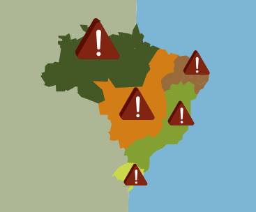
Aqui você encontra semanalmente novos alertas de desmatamento validados para todos os biomas brasileiros com diversas opções de filtros de busca temporais e territoriais.
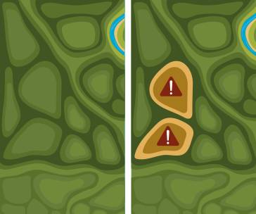
Selecionando um alerta, você pode visualizar as imagens de alta resolução de antes e depois do desmatamento.
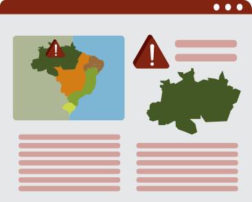
Acesse o laudo completo de cada imóvel que cruza com alerta de desmatamento e faça buscas pelo código do CAR.




Create custom maps

Join our forum

Access our FAQ

Data download